

Hameldown [Hamel Down]
Good walks are even better shared.
SX7080 : Hamel Down Cross in 1989
Clint Mann Photo source
Overview
Hameldown [Hamel Down]
Located in the heart of Dartmoor National Park, Hameldown [Hamel Down] stands as a beacon for walkers of all kinds. Rising to an elevation of 421 meters, it may not be the tallest, but what it lacks in height, it vastly makes up for in character!
Geology
Hameldown's granite is one of Dartmoor's treasures. These ancient rocks have weathered through millennia, creating fascinating terrains that are a photographer's dream. Look closely, and you may even spot some fascinating lichen clinging tenaciously to the stone!
Routes
The Hameldown Beacon Circular route is a sought-after path that combines scenic views and the thrill of ascending a tor. At a distance of 6.4 km and a moderate difficulty level, it’s suitable for most hikers looking to stretch their legs in the great outdoors without breaking a sweat.
Summit Features
The summit is a delightful spot, complete with a granite tor and a jovial cairn of rocks. It's the perfect place to catch your breath or have a natter with friends whilst enjoying the breathtaking views.
Terrain Type
Expect a delightful mishmash of grassy areas interspersed with rocky outcrops. A few boggy bits add a dash of excitement, but with a bit of care, you should keep your boots relatively dry!
Views
The panoramic views from Hameldown are nothing short of spectacular. With Dartmoor's rolling moors, the distant Exmoor hills, and the English Channel peeking in the distance, your Instagram feed will thank you. For the best views, aim for spring or autumn when nature puts on her finest dresses.
Hazards
Keep your eyes peeled! Wet paths and sudden changes in weather can turn a gentle hike into an unexpected adventure. Navigation can be a puzzle, so make sure to bring your map and a compass, or at least pretend to be good at reading maps if all else fails!
Nearby Summits
If you're feeling adventurous, nearby Hound Tor and Crockern Tor offer alternative challenges worthy of exploration.
Access
Nearest Parking
Located at Hookney Tor, the car park provides a convenient starting point for your trek, but spaces are limited. It’s like a game of musical chairs — arrive early to claim your throne!
Public Transport
If you fancy leaving the car behind, buses to Buckfastleigh can get you started, followed by a picturesque walk to the trailhead.
Nearest Town
Buckfastleigh is the closest town, where you can grab a cup of tea post-hike and perhaps indulge in a slice of homemade cake!
Facilities
While you won’t find facilities atop Hameldown, Buckfastleigh has lovely cafés and toilets for your convenience.
History
The name 'Hameldown' reflects the landscape, with its bare and bald surfaces. Historically, it is rich with ancient sites, including standing stones that whisper stories of the past.
So, lace up your walking boots, pack your picnic, and embrace the adventure that awaits at Hameldown!
Happy hiking!
Explore routes near Hameldown [Hamel Down]
Walks starting near this hill. Open a route to check its map, distance and full itinerary.
Moretonhampstead to Lustleigh: Wray Valley woodland railway trail
View route
Castle Drogo and Fingle Bridge: Teign Gorge woodland circuit
View route
Exeter Canal, Double Locks and Countess Wear river circuit
View route
Cotehele: Danescombe Valley and Mining Heritage Circuit
View route
Route planning notes
These notes describe possible approaches. Check a route's map and access information when planning your walk.
Hameldown Beacon Circular
A scenic circular route starting from the nearby car park, which offers stunning views along the way and a gentle ascent to the summit.
Make a day of it, together
Find someone to share the walk with, or organise a day out along a route you like.
Photo Gallery
View all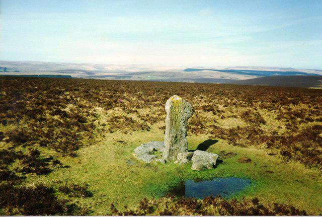 Photo could not load
SX7080 : Hamel Down Cross in 1989
Clint Mann
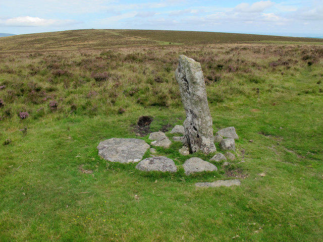 Photo could not load
SX7080 : Hamel Down Cross
Stephen Craven
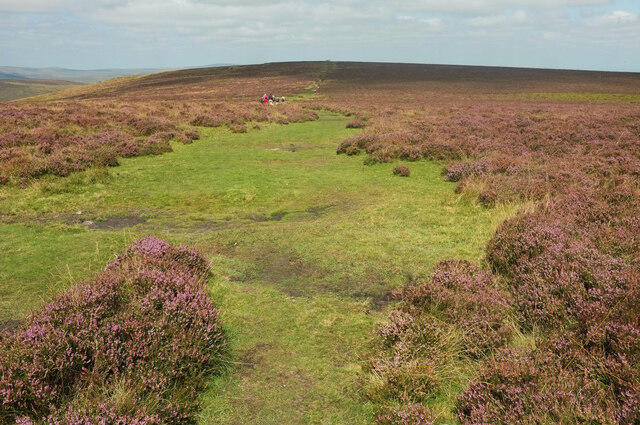 Photo could not load
SX7080 : Two Moors Way on Hamel Down
Derek Harper
 Photo could not load
SX7080 : Old Wayside Cross on Hamel Down, Widecombe in the Moor Parish
Alan Rosevear
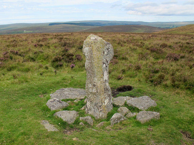 Photo could not load
SX7080 : Hamel Down Cross
Stephen Craven
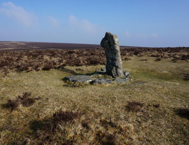 Photo could not load
SX7080 : Hamel Down Cross (remains of)
jeff collins
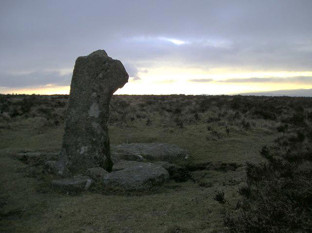 Photo could not load
SX7080 : Hameldown Cross
Chris Andrews
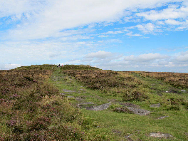 Photo could not load
SX7079 : Path to Broad Barrow
Stephen Craven
 Photo could not load
SX7079 : Hameldown [Hamel Down]
Rude Health
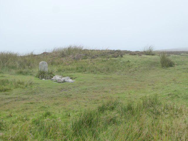
SX7079 : Boundary stone on Broad Barrow
David Smith
Hill facts and local notes
Classifications
Elevation
532m
1,745 ft
Prominence
99m
Coordinates
50.6045, -3.8305
SX705799
OS Map
191
Explorer: OL28N
At the Summit
The summit is crowned with a prominent granite tor, which offers a perfect perch for a well-deserved snack break. A fantastic stone cairn marks the highest point and serves as a great photo opportunity.
Terrain & Geology
Hameldown is primarily composed of granite, characteristic of Dartmoor's rugged landscape. The eroded granite formations create fascinating shapes, making it a delight for both geology buffs and photographers.
Views & Scenery
From the summit, hikers can enjoy expansive views of Dartmoor's moors, the distant hills of Exmoor, and on clear days, even a glimpse of the English Channel.
History & Heritage
Name Origin
The name 'Hameldown' is believed to derive from the Old English 'hamel', meaning 'bald' or 'bare', aptly describing the summit’s treeless plateau.
Historical Significance
Hameldown holds significance for many, not just as a hiking destination but also as an area steeped in history, with standing stones and ancient Bronze Age sites nearby.
Getting There & Facilities
Parking
There is a small car park at Hookney Tor, approximately 1.5 km from the foot of Hameldown. Limited spaces available, so arrive early!
Public Transport
Regular buses service the nearby village of Buckfastleigh, followed by a scenic walk through the moors to reach the start of your adventure.
Nearby Facilities
While there are no facilities at the summit, the nearest toilets can be found in Buckfastleigh. A couple of delightful cafes can also provide a slice of cake or a refreshing drink after your trek.
Safety Information
Known Hazards
- Wet and boggy paths can be common, particularly after rain. Navigation can be tricky in low visibility, so be sure to keep your wits about you!
General Safety Tips
- Check weather conditions before setting out
- Carry appropriate clothing and equipment
- Let someone know your planned route
- Take a map, compass, and GPS device
- Carry emergency supplies: food, water, first aid kit, torch
Hills
Some common questions about the hills answered
Are there group walks up Hameldown [Hamel Down]?
Many walkers use Walkmates to join or organise walks with others. You can check for group walks around Hameldown [Hamel Down] through the maps
Are there other walkers around Hameldown [Hamel Down]?
Activity varies by location and time, but Walkmates lets you see whether others have shared walks or shown interest in this area. Find other people through the walking friends search walking friends for Hameldown [Hamel Down] search or of course create your own walk for Hameldown [Hamel Down]
Can I organise a walk to Hameldown [Hamel Down]?
Yes. If there aren’t any walks listed already, you can create a walk and make it available for others to join.
If you're signed up to Walkmates, you can create a walk to Hameldown [Hamel Down].
How do I find a walk up this hill?
There are often multiple ways to walk this hill, depending on experience and route preference. Walkmates helps you explore walks and routes that others have shared.
Can I suggest a new route up Hameldown [Hamel Down]?
Yes. You can suggest or create routes to share with others. Walkmates focuses on the social side of walking, so routes are used to help people organise walks and explore areas together, rather than as detailed navigation tools or route libraries.
Other uses really appreciate knowledgeable walkers sharing their routes. Share your favourite route to Hameldown [Hamel Down] here
The is an error or something incorrect about this hill. How do I let you know?
We always strive to keep the information on Walkmates as accurate as possible. If you find an error, please let us know through the contact form and we'll aim to correct it as quickly as possible
Community Discussion
Comments
Location
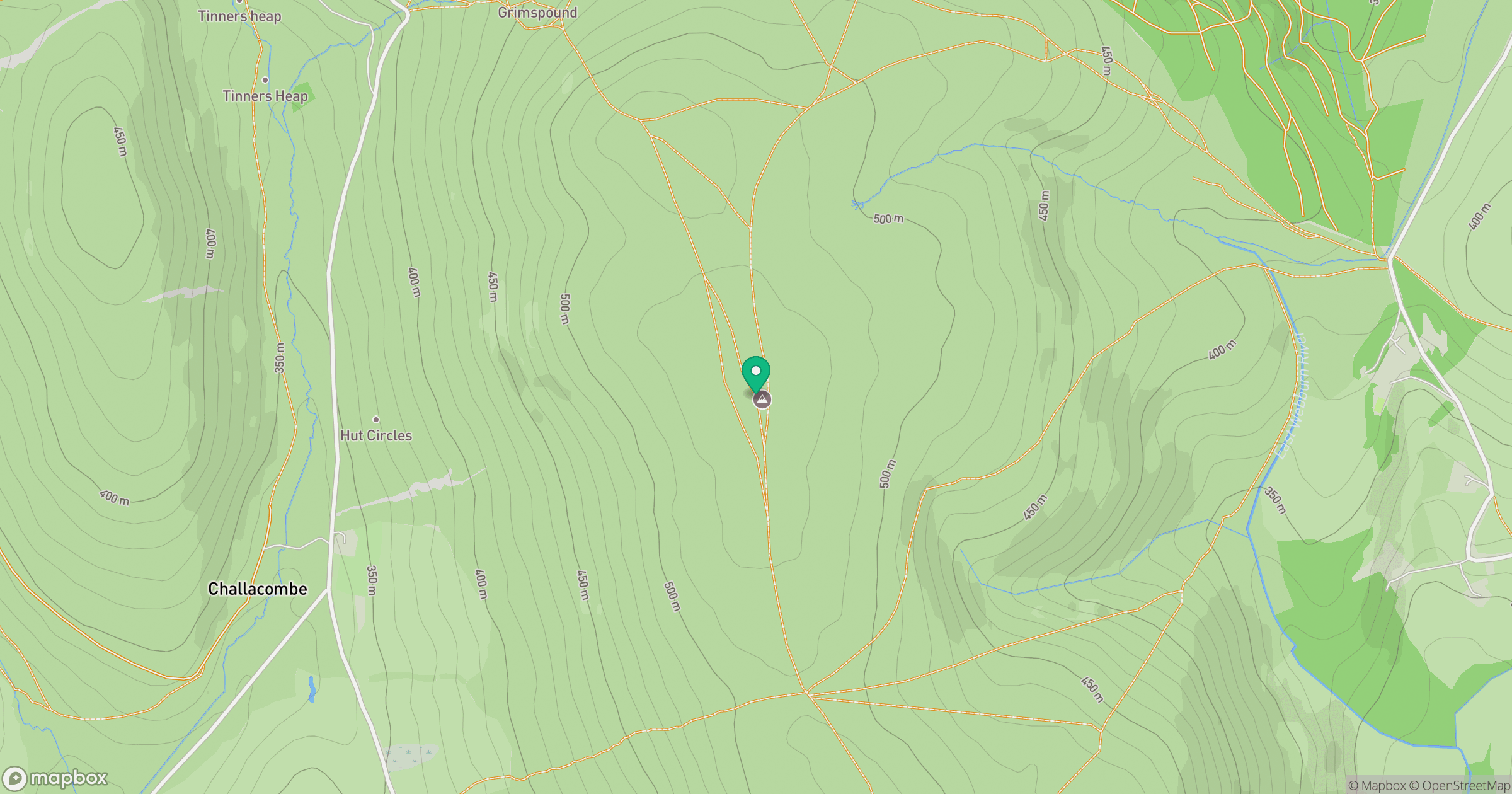
Grid reference: SX705799
View on OpenStreetMapOpens a map in a new tab, centred on the hill.
Nearby Hills
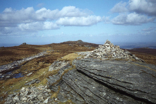
High Willhays
622m
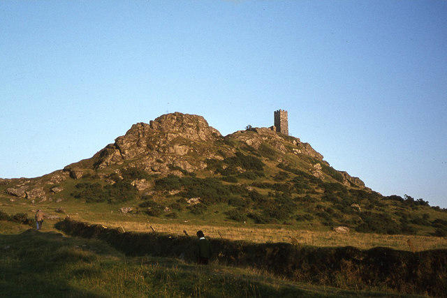
Brent Tor
334m
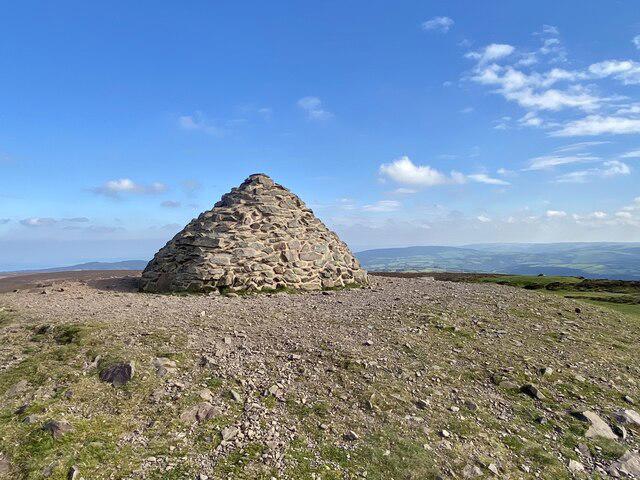
Dunkery Beacon
520m
Brown Willy
420m
Rhossili Down - The Beacon
193m
No comments yet. Be the first.